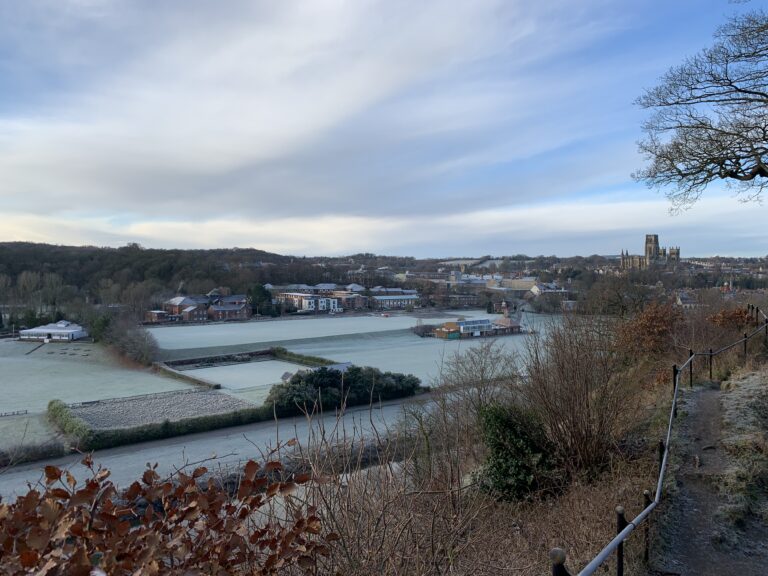
February 2025 Weather in Durham – Anticyclonic gloom until 20th

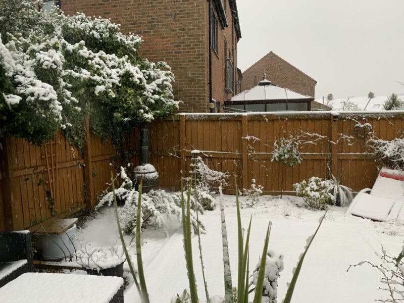
The month began with a blocking high giving cold easterly winds, but as easterlies aren’t what they used to be, it wasn’t exceptionally cold. The high started moving away on the 19th, allowing frontal systems to bring some snow to the north, but then mobile westerlies meant the rest of the month was changeable and mild. Maxima in Durham went …