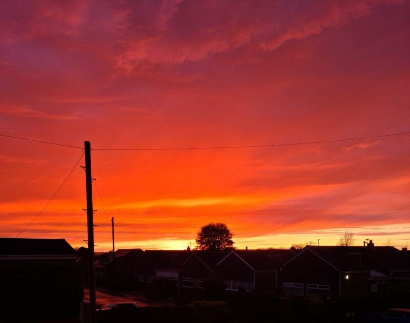
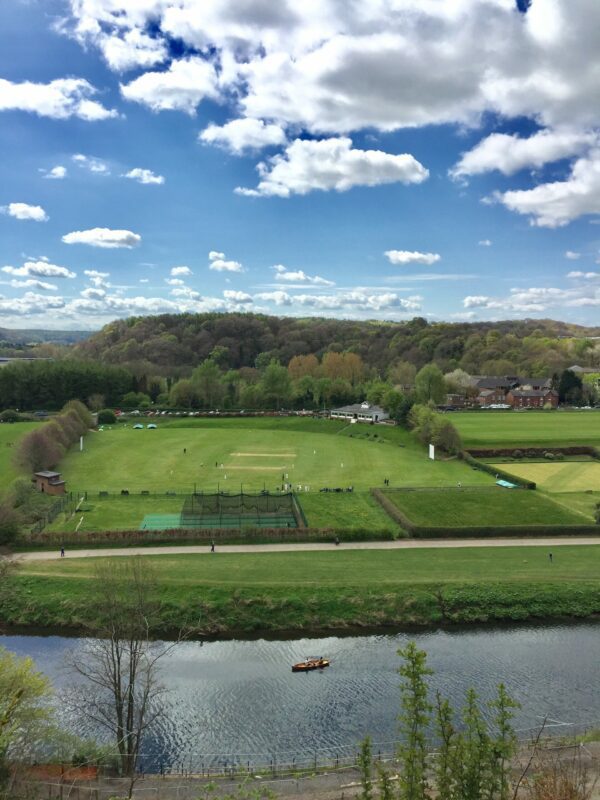
April 2025 Weather in Durham – Very dry
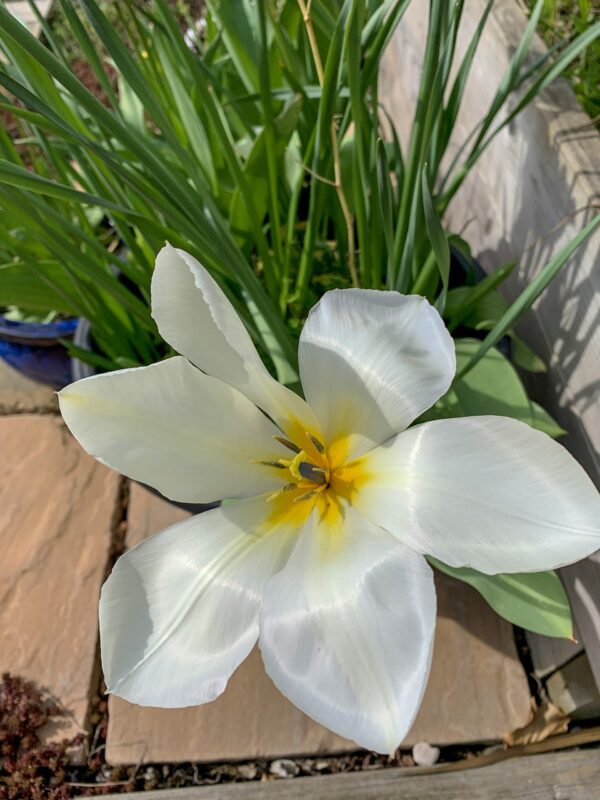
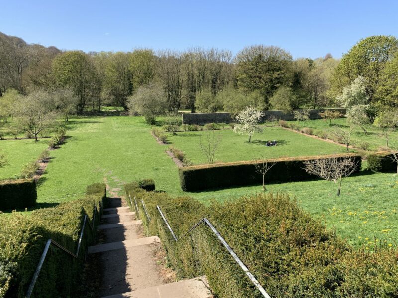
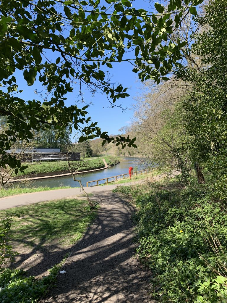
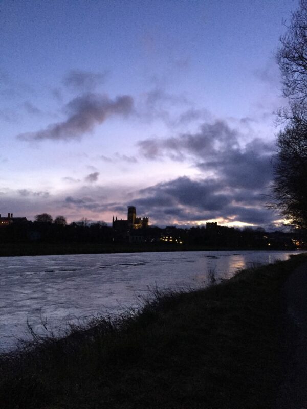
A superb start and end to April April 2025 opened superbly, with perfect blue skies and reasonable temperatures for early Spring. There was a nagging Easterly wind though; the position of the stable high pressure cell was feeding air from a chilly direction, meaning that it was warm in the sun as long as you were out of the breeze. …